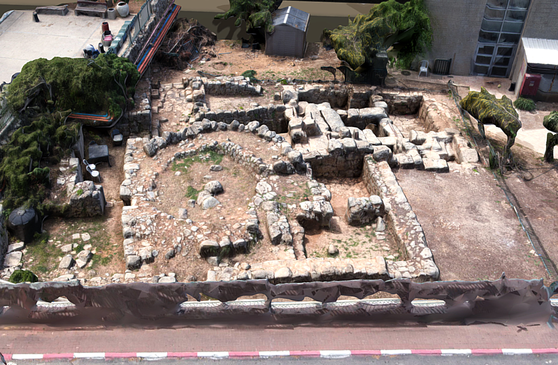
- Aerial Surveying: Drones equipped with high-resolution cameras can capture detailed aerial images of archaeological sites, historic buildings, and landscapes. These images provide an overview of the site and help archaeologists and historians identify features that might not be visible from the ground.
- 3D Mapping and Modeling: By taking multiple aerial photographs from different angles, drones can create highly accurate 3D models of cultural heritage sites. This allows researchers to study the site in detail and analyze its spatial characteristics without the need for invasive physical measurements.
- Site Monitoring and Management: Drones equipped with sensors like LiDAR (Light Detection and Ranging) can monitor changes in cultural heritage sites over time. This data is crucial for managing and protecting these sites from natural disasters, erosion, vandalism, and other threats.
- Remote Sensing: Drones can carry various sensors, including thermal cameras and multispectral imaging systems, to collect data beyond visible light. This data can reveal hidden features, subsurface structures, or variations in material composition, providing valuable insights into the site’s history and condition.
- Accessibility and Safety: Cultural heritage sites are often located in remote or hazardous areas, making them difficult to access. Drones offer a safer and more cost-effective alternative to traditional surveying methods, allowing researchers to collect data from inaccessible or dangerous locations.
- Public Engagement and Education: Aerial footage captured by drones can be used to create immersive experiences and educational materials for the public. Virtual tours, interactive maps, and documentaries enable people to explore cultural heritage sites from anywhere in the world, fostering appreciation and awareness of their importance.
- Damage Assessment and Conservation Planning: After natural disasters or conflicts, drones can quickly assess the extent of damage to cultural heritage sites, guiding conservation efforts and prioritizing resources. High-resolution imagery helps experts develop restoration plans and monitor the effectiveness of conservation measures over time.
In summary, drone imaging offers a powerful and versatile tool for documenting, analyzing, and preserving cultural heritage sites, contributing to their conservation and dissemination for future generations.

